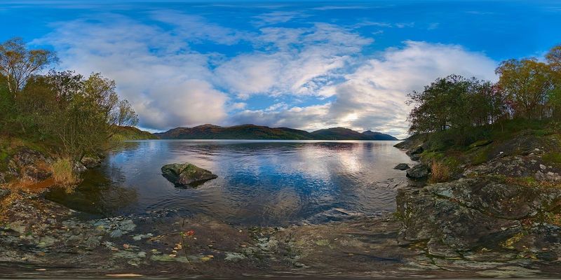
Loch Lomond
Twenty-four miles long, with around thirty islands and the Highland Boundary Fault running straight across it — the loch is broad and gentle in the south, narrow and mountainous in the north.
Show on map ↓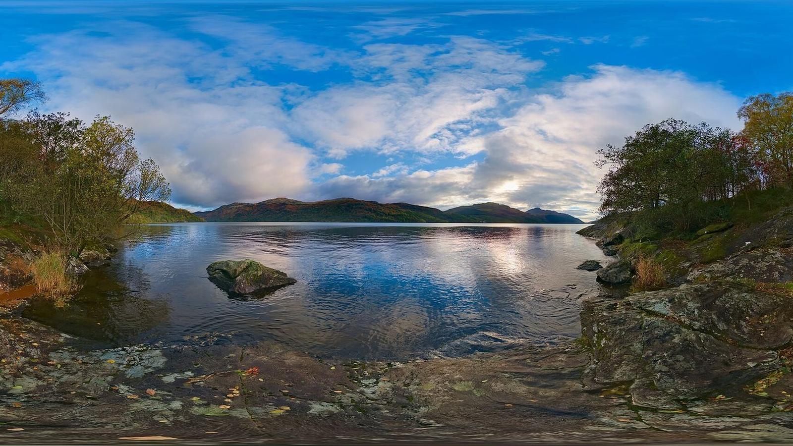
Scotland's first national park, and the villages tucked inside it
Loch Lomond is the largest body of fresh water in Britain by surface area, and the national park around it is the easiest wild landscape to reach from Scotland's central belt. That accessibility cuts both ways — the honeypot villages get busy, while businesses in the quieter settlements a few miles off the A82 are much harder to find.
Here's the landscape, the villages worth the detour, and the independents operating in them.
This region is just getting started.
We're still building out this region.
If you run an independent business in Loch Lomond & Trossachs, a free listing here puts you on the map — literally — for people searching for what you do.
Add your business freeThe towns and landmarks of this region. Business pins appear here as listings are added.
Scroll-zoom is off until you click the map, so the page keeps scrolling normally.
Places worth slowing down for in this region. We don't have listings in any of them yet — if you trade in one, you can be the first.
The southern gateway on the loch shore, with the country park and the train from Glasgow.
No listings yetA conservation village of slate-roofed cottages with a pier and a beach on the west shore.
No listings yetThe eastern gateway to the Trossachs, on the River Teith.
No listings yetDeep in the Queen Elizabeth Forest Park, at the foot of Duke's Pass.
No listings yetA village green, a couple of good pubs, and a waypoint on the West Highland Way.
No listings yetSits under the Arrochar Alps at the head of Loch Long, with the Cobbler above.
No listings yetWorth seeing in their own right, and a good way to get your bearings in the region.
Twenty-four miles long, with around thirty islands and the Highland Boundary Fault running straight across it — the loch is broad and gentle in the south, narrow and mountainous in the north.
Show on map ↓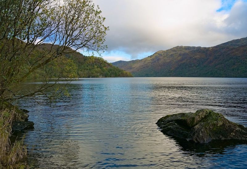
One of many pull-ins along the western shore where you can get down to the water. Clear, cold, and much quieter than the village beaches.
Show on map ↓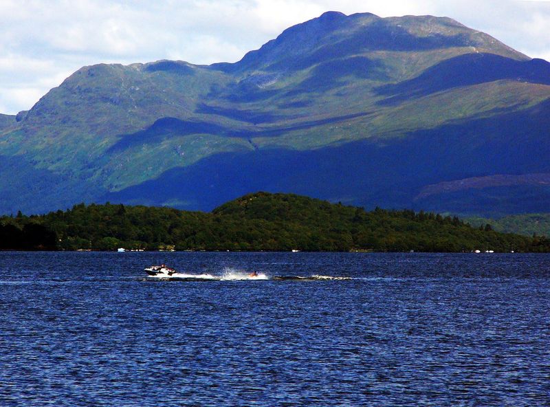
The most southerly Munro at 974 metres, rising straight out of the loch's eastern shore. The path from Rowardennan is well made and busy, and the view from the top runs from Arran to the Arrochar Alps.
Show on map ↓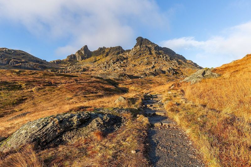
Not a Munro, but the most recognisable summit in the southern Highlands — a hooked rock profile above Arrochar. Reaching the true top means threading a gap in the rock and stepping onto an exposed ledge.
Show on map ↓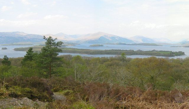
A wooded island nature reserve a few minutes by boat from Balmaha, with a summit path, a beach for camping and the ruins of a 13th-century church among the oaks.
Show on map ↓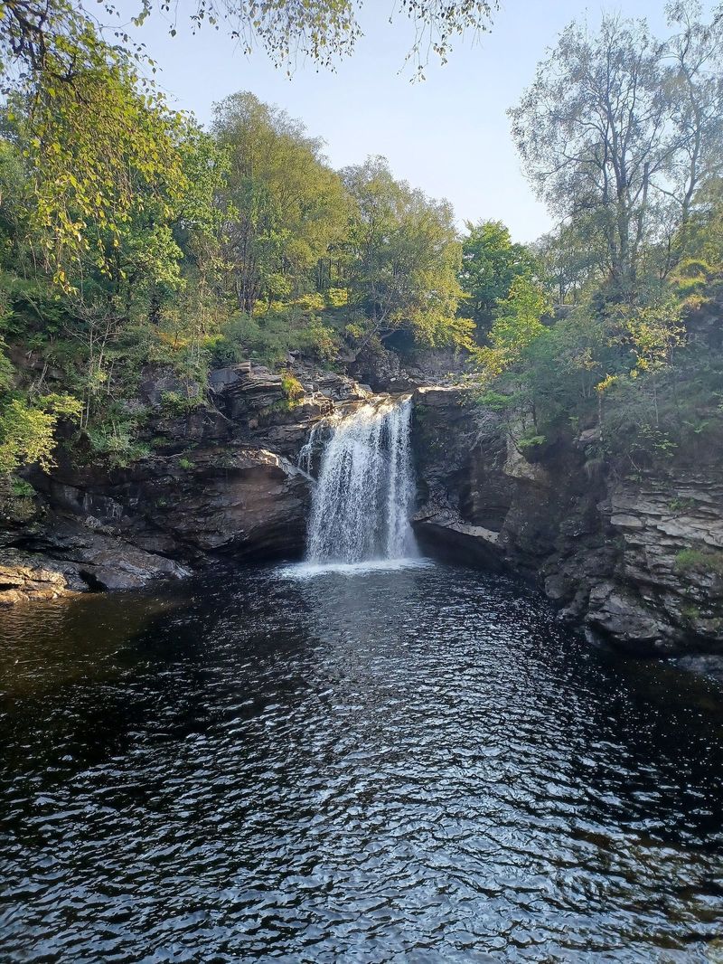
A powerful waterfall dropping into a deep pool in Glen Falloch, five minutes' walk from a lay-by on the A82. One of the easiest genuinely impressive stops on the road north.
Show on map ↓